
Smart Cities
Complete Outdoor Asset Management
Track, monitor, and manage every public asset — from street lights and traffic signals to bridges, utilities, and buildings — with live sensor data on one unified map. Then extend the same platform to traffic and transit with AI cameras.
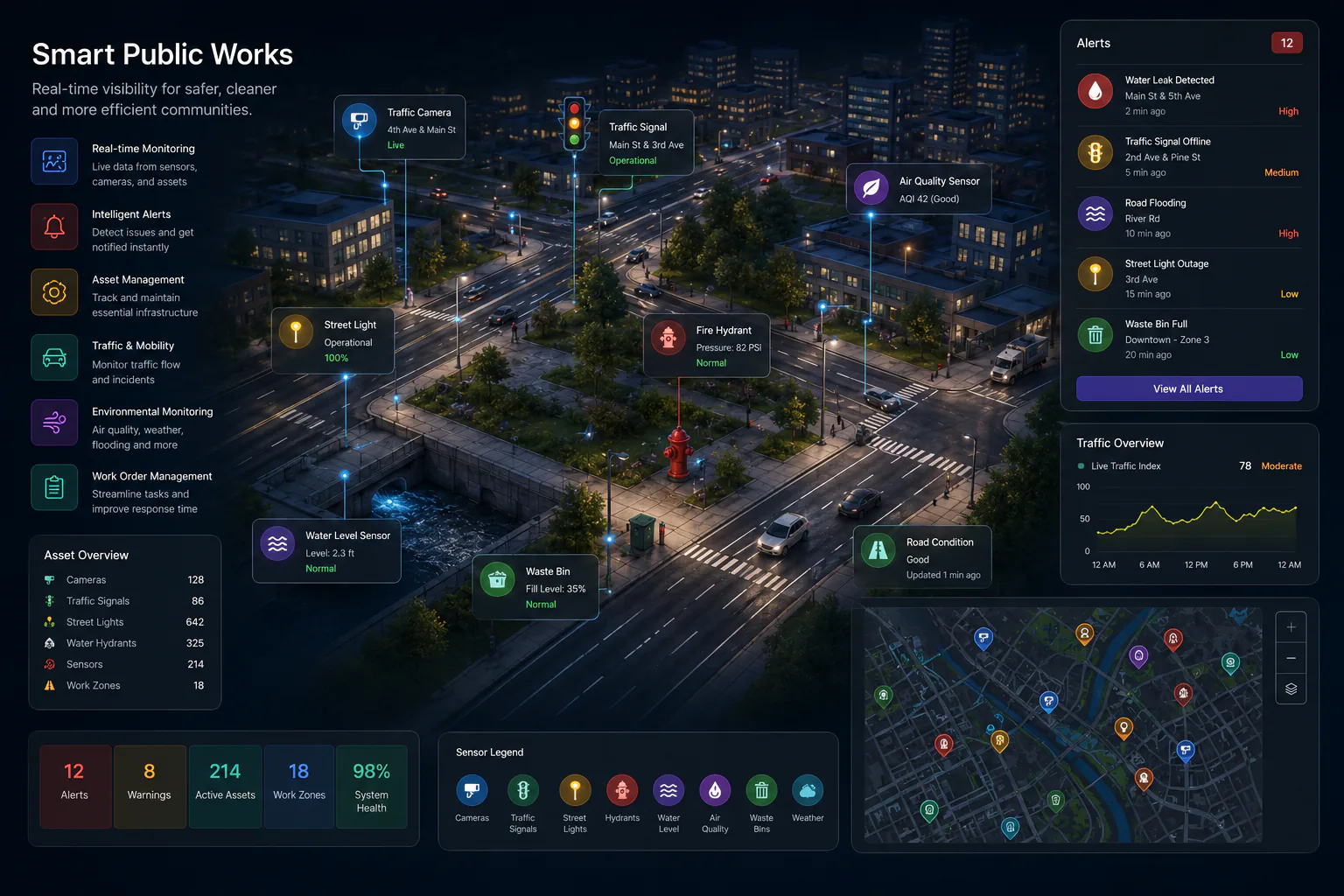
Outdoor Asset Management
Comprehensive Asset Capabilities
Everything you need to manage government assets from a single, unified platform
Utility Infrastructure Management
Comprehensive tools for water, sewer, and stormwater operations
What Assets Can You Track?
Our platform supports every type of outdoor public asset
- Roads, bridges, and pavement
- Street lights and traffic signals
- Signs and street furniture
- Buildings and public facilities
- Parks and recreation facilities
- Water mains, valves, and hydrants
- Meters, pump stations, and storage tanks
- Sanitary sewer lines, manholes, and lift stations
- Storm drains, catch basins, and outfalls
- Detention ponds and green infrastructure
- Traffic controllers and sensors
- CCTV and surveillance cameras
- Weather stations
- IoT sensors and devices
- Communication and network equipment
Long-Term Data
A Permanent Record for Every Asset
Every sensor on every asset — meters, leak detectors, power monitors, condition sensors — writes to a data lakehouse. That accumulated history is what turns day-to-day monitoring into defensible capital planning.
Target Outcomes
Outcomes agencies aim for with Gostly. Actual results vary by site, baseline, and deployment scope.
Up to
Maintenance cost reduction
Asset visibility across departments
Up to
Faster resource deployment
Up to
Extended asset lifecycles
Mobility & Transportation
Extend the Same Map to How Your City Moves
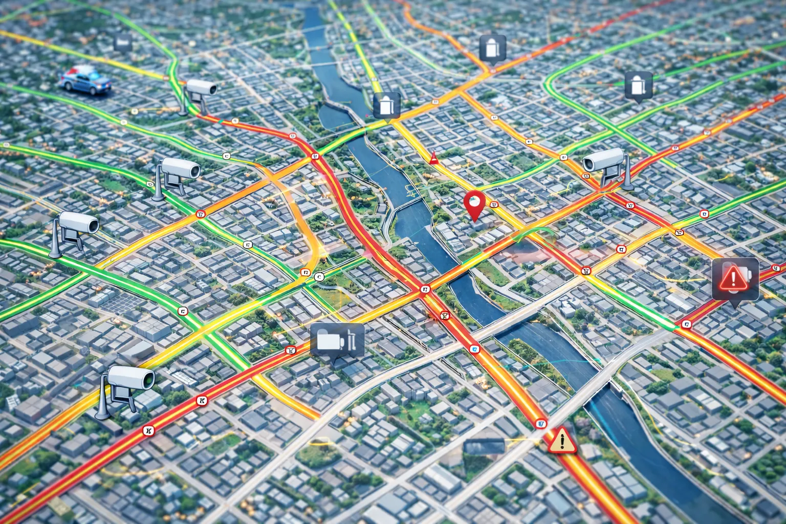
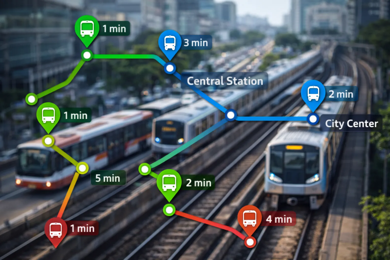
Once your assets are on the platform, add AI cameras and transit feeds to see traffic, transit, pedestrians, and cyclists on the same live map — with the same long-term history behind it. See where people are going to and coming from, and where congestion actually forms.
How our AI cameras work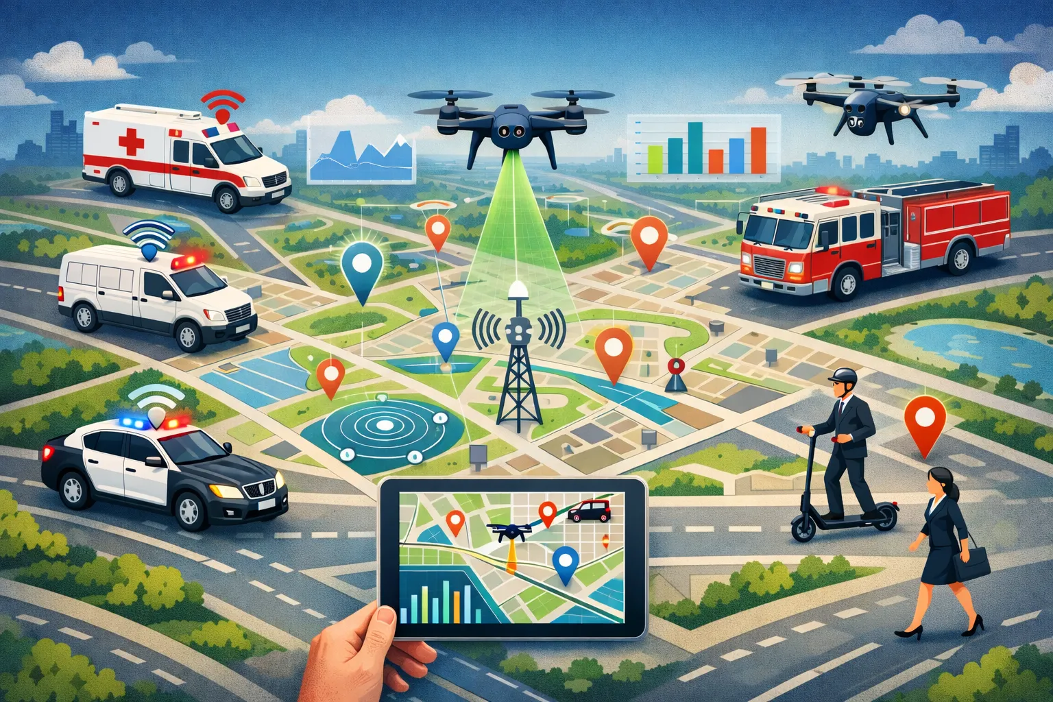
- Traffic flow and congestion
- Incident detection
- Signal timing analysis
- Real-time vehicle tracking
- On-time performance
- GTFS integration
- Foot traffic patterns
- Bike lane usage
- Safety hot spots
Integrates with Your Existing Systems
Connect with your existing CMMS, GPS tracker, GIS, and transit data.
See It All on the Live Map
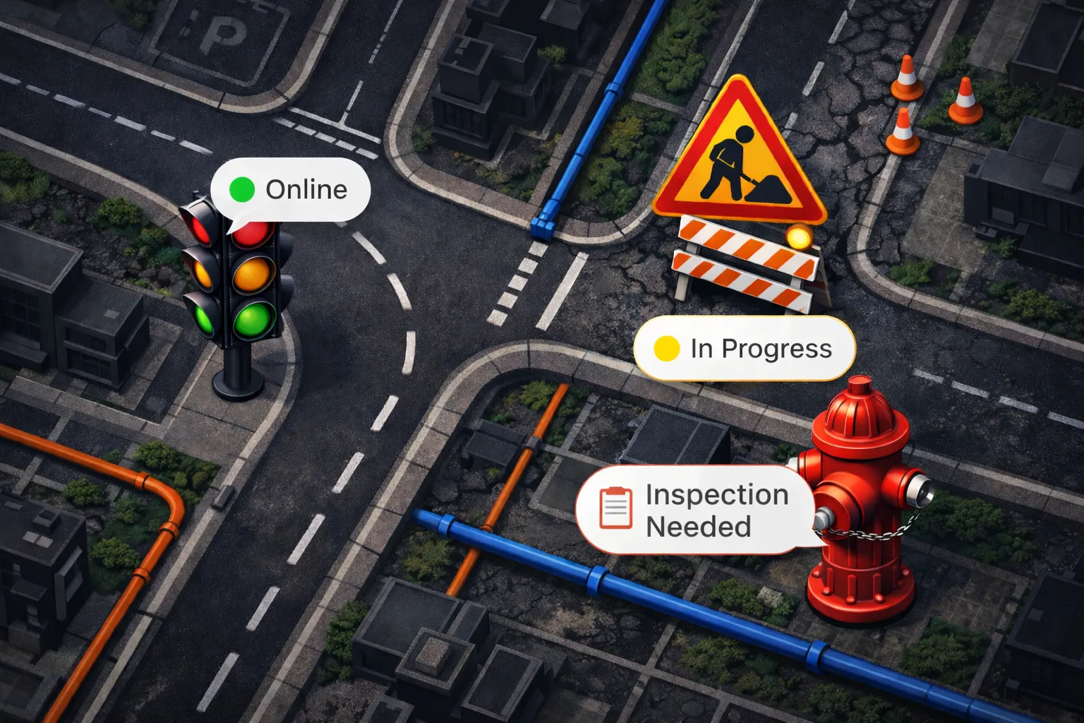
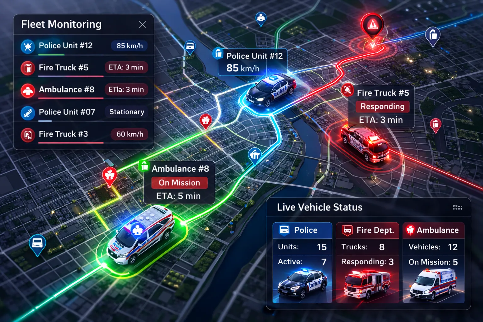
Assets and underground utilities first, then fleet, cameras, roads, and transit — all togglable layers on one unified map.


Ready to Transform Your Outdoor Asset Management?
Join government agencies, college campuses and overall communities using Gostly to gain complete visibility over their infrastructure assets

Minority Business Entity · Small Business Reserve